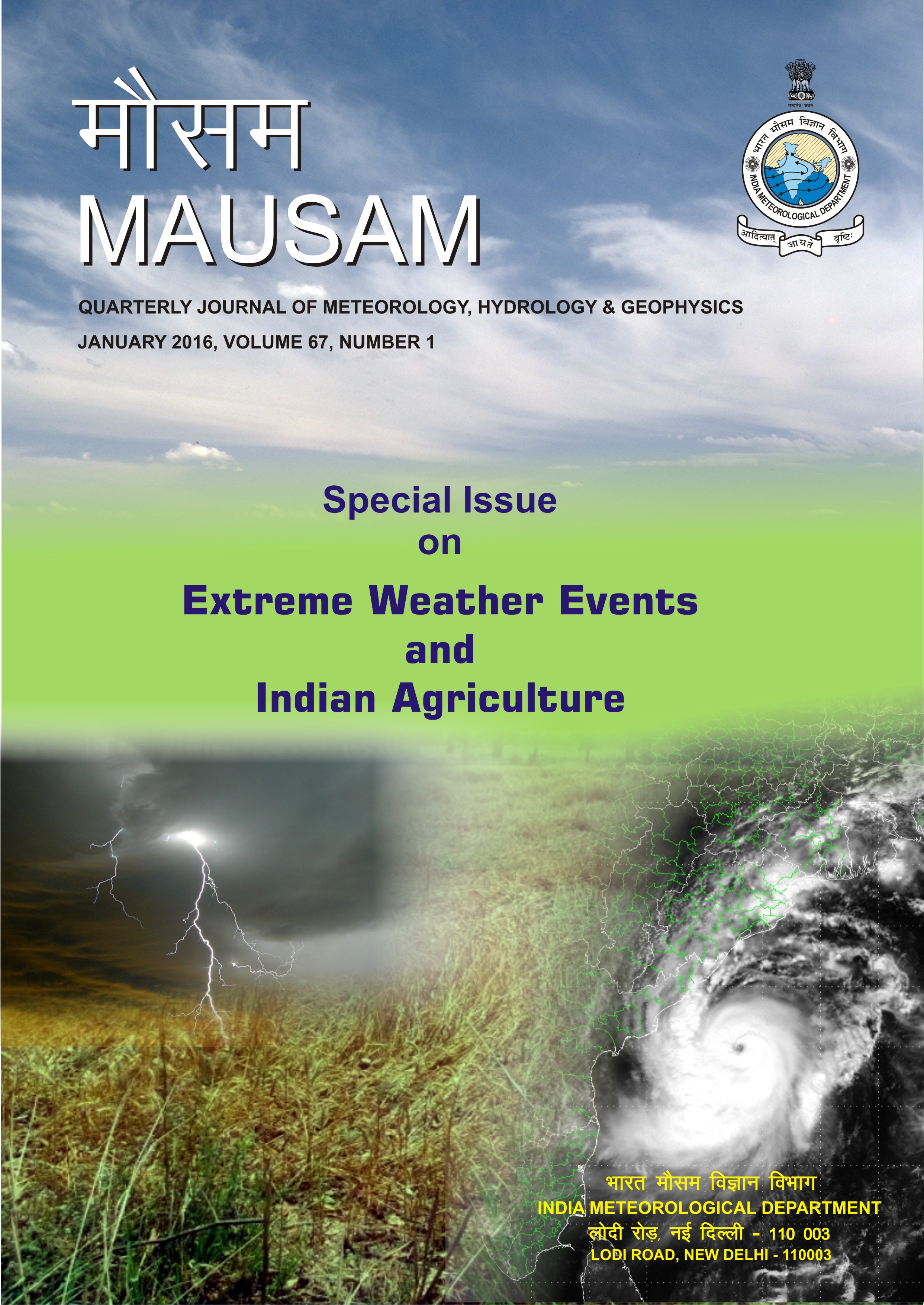
Establishing an operational system for assessment and forecasting the impact of extreme weather events on crop production
DOI:
https://doi.org/10.54302/mausam.v67i1.1230Abstract
Crop production forecasting is essential for various economic policy and decision making. There is a very successful operational programme in the country, called FASAL, which uses multiple approaches for pre-harvest production forecasting. With the increase in the frequency of extreme events and their large-scale impact on agriculture, there is a strong need to use remote sensing technology for assessing the impact. Various works have been done in this direction. This article provides three such case studies, where remote sensing along with other data have been used for assessment of flood inundation of rice crop post Phailin cyclone, period operational district/sub-district level drought assessment and understanding the impact of recent hailstorm/unseasonal rainfall on wheat crop. The case studies highlight the great scope of remote sensing data for assessment of the impact of extreme weather events on crop production.
Downloads
Published
How to Cite
Issue
Section
License
Copyright (c) 2021 MAUSAM

This work is licensed under a Creative Commons Attribution-NonCommercial 4.0 International License.
All articles published by MAUSAM are licensed under the Creative Commons Attribution 4.0 International License. This permits anyone.
Anyone is free:
- To Share - to copy, distribute and transmit the work
- To Remix - to adapt the work.
Under the following conditions:
- Share - copy and redistribute the material in any medium or format
- Adapt - remix, transform, and build upon the material for any purpose, even
commercially.


