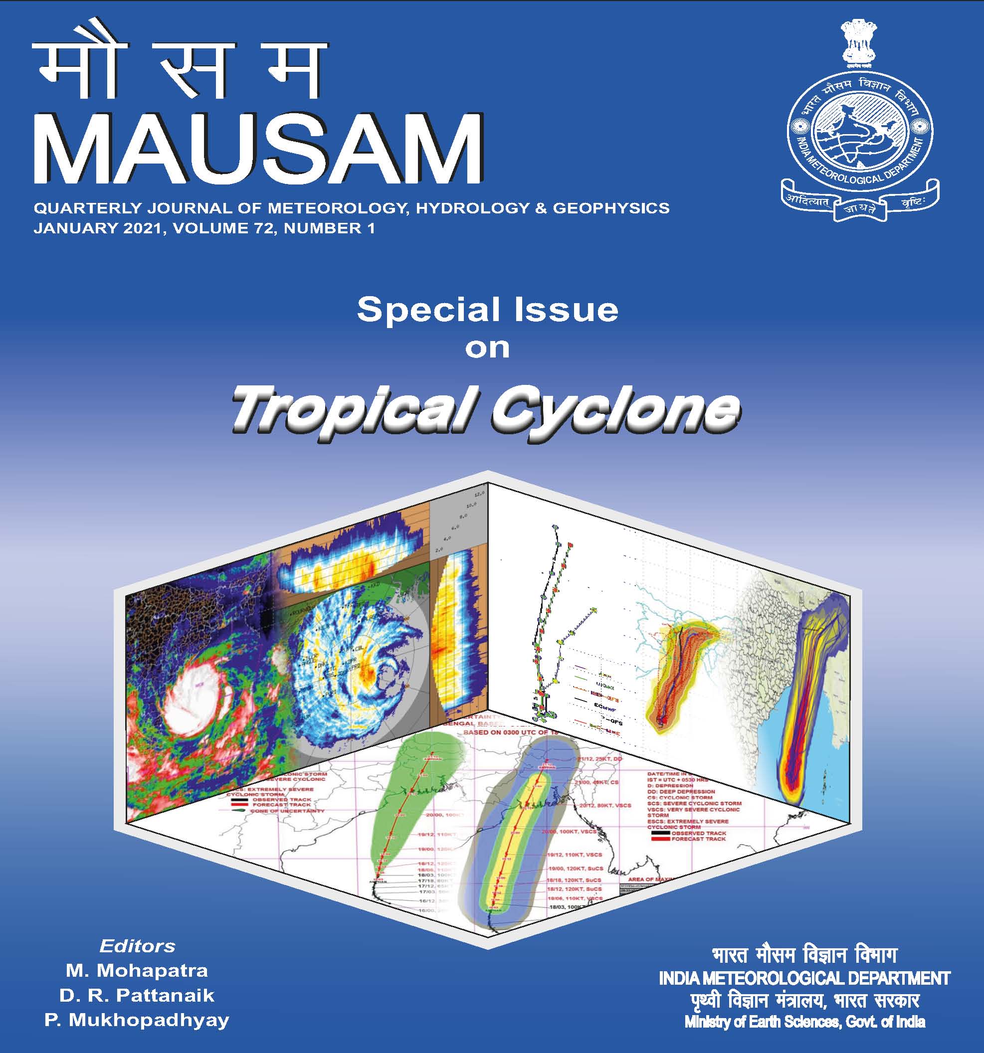
Evolution of IMD’s operational extended range forecast system of tropical cyclogenesis over North Indian Ocean during 2010-2020
DOI:
https://doi.org/10.54302/mausam.v72i1.124Abstract
The post monsoon seasons (October-December; OND) are known to produce tropical cyclones (TCs) of severe intensity over the North Indian Ocean (NIO) and particularly over the Bay of Bengal (BoB). The evolution of operational extended range forecast (ERF) of cyclogenesis probability during 2010 to 2020 based on dynamical models have been discussed. The ERF of cyclogenesis probability based on ECMWF and CFSv1 dynamical models had a modest beginning in 2010 with reasonable performance in case of severe cyclonic storm ‘Jal’ formed during the first week of November. The 2015 cyclone season with active Arabian Sea and inactive BoB was also very well captured in the real time ERF.
IMD implemented CFSv2 coupled model for operational ERF in 2017 and based on it the Genesis Potential Parameter (GPP) is calculated for four weeks by using the dynamical variables like vorticity, divergence, vertical wind shear & mid-level relative humidity and was tested for the ‘Ockhi’ cyclone of 24-30 November, 2017. The GPP in case of ‘Ockhi’ cyclone was well predicted in the ERF, however, with a lead time of only one week.
The Improved GPP (IGPP) is used since 2019, which can be applied both over the Ocean and the land region. In the case of IGPP the vorticity and middle tropospheric humidity terms of GPP have been retained but the thermodynamic term is modified as the scaled and averaged equivalent potential temperature between 1000 and 500 hPa. The vertical shear between 850 and 200 hPa is scaled and averaged over an annular region between 100 and 200 km radii for each grid point. In case of Super cyclone “Amphan” it indicated the genesis of the system in “Week 1” and “Week 2” forecast and also its re-curvature northeastward like the observed track. The cyclone “Nisarga” over the Arabian Sea and its track towards western coast of India was well captured in week 1 forecast based on Initial Condition of 27 May, 2020. The IGPP also showed reasonable skill in ERF in predicting the genesis of three intense cyclones viz., ‘Gati’ during 21-24 November, ‘Nivar’ during 22-26 November and ‘Burehi’ during 30 November to 5 December and the two depressions of October, 2020. Considering the significant role of Madden Julian Oscillation (MJO) in BoB TC genesis, IMD is making use of the operational IGPP along with other parameters like current and forecast MJO, Tropical Cyclone Heat Potential etc and the value-added cyclogenesis probability outlook is being issued for two weeks on every Thursday.
Downloads
Published
How to Cite
Issue
Section
License
Copyright (c) 2021 MAUSAM

This work is licensed under a Creative Commons Attribution-NonCommercial 4.0 International License.
All articles published by MAUSAM are licensed under the Creative Commons Attribution 4.0 International License. This permits anyone.
Anyone is free:
- To Share - to copy, distribute and transmit the work
- To Remix - to adapt the work.
Under the following conditions:
- Share - copy and redistribute the material in any medium or format
- Adapt - remix, transform, and build upon the material for any purpose, even
commercially.


