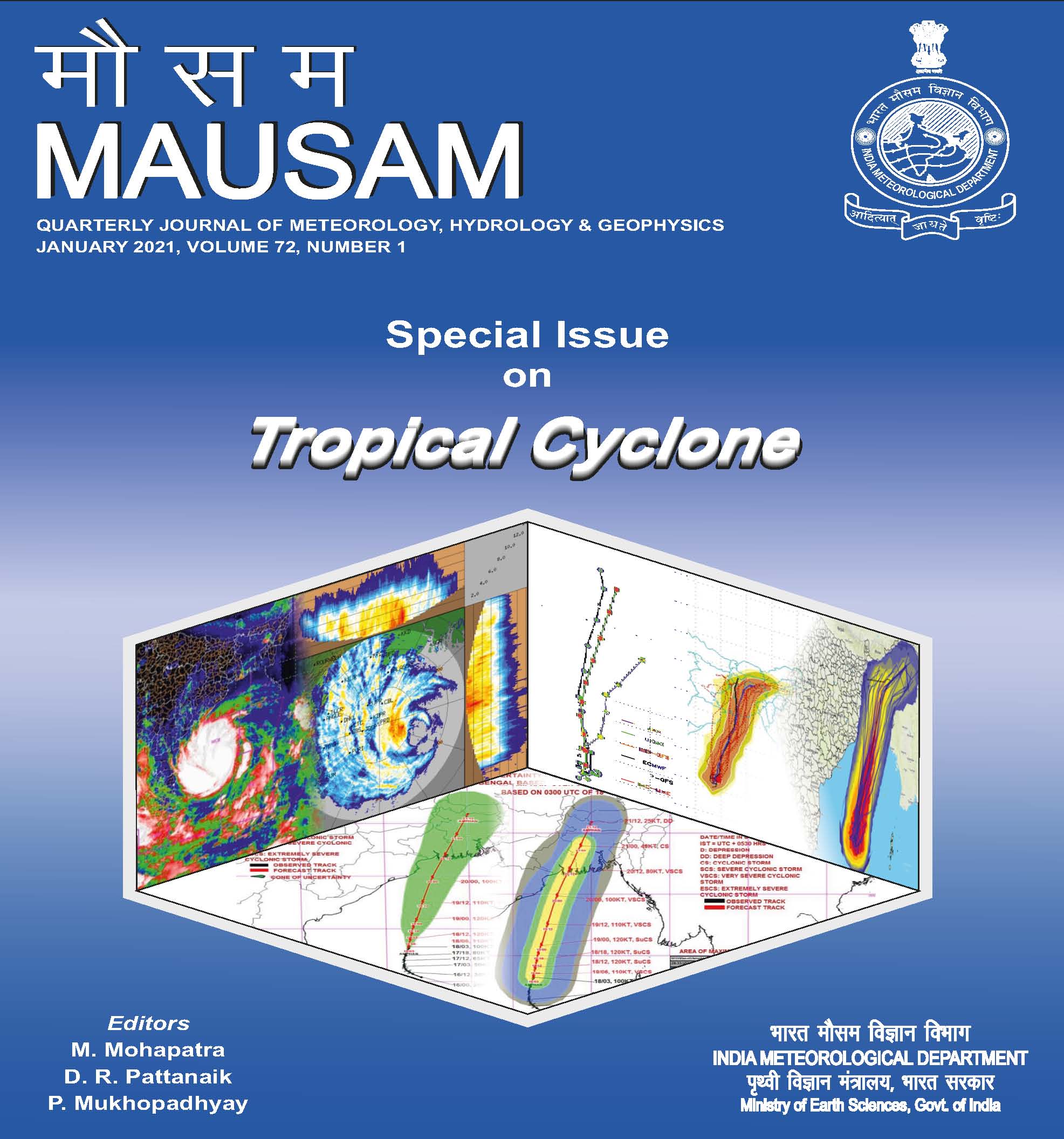
Tropical cyclone forecast using NCMRWF Global (12 km) and regional (4 km) models
DOI:
https://doi.org/10.54302/mausam.v72i1.125Keywords:
Cyclone track errors, Landfall location error, Intensity verification, Rapid intensification, Regional modelsAbstract
Countries adjoining the North Indian Ocean (NIO) region are among the world's worst affected areas by tropical cyclones (TCs). An increase in frequency and intensity of TCs affecting this basin is noticed in recent years. Timely and accurate prediction of a TC can lead to a decrease in damages to life and property caused by the cyclone. In recent times, the forecasts of TC tracks and intensity have improved due to advancements in the resolution, data assimilation techniques and physics of Numerical Weather Prediction (NWP) models and improvements in the model's initial condition. In this study, we have analysed the forecasts of Super Cyclone (SuCS) 'Amphan' that occurred over the Bay of Bengal during 16-21 May, 2020 obtained from the Global and Regional version of the NCMRWF Unified Model, i.e., NCUM-G and NCUM-R, respectively.
The analysis of the track error shows that the initial position and 24-hour forecast errors in both the models are very close. However, the 48 to 72-hour forecast errors are much lower in the NCUM-R compared to NCUM-G. The percentage decrease in the track errors from global to regional model is about 12% in the 48-hour forecasts and 17% in the 72-hour forecasts. The landfall position error is less than 50 km in the predictions after 18th May, 2020 in NCUM-G. However, NCUM-R shows a lower landfall location error as compared to NCUM-G. Comparing the intensity forecasts from NCUM-G and NCUM-R shows that the 48 hrs forecast of minimum sea level pressure (SLP) based on initial conditions of 16th May, 2020 are very close to the observed intensity. The rapid intensification of Amphan is also well predicted by both the models, although with a delay. The cyclone structure shows that the 850 hPa vorticity core is much stronger in NCUM-R forecasts than NCUM-G. The warm-core system in the NCUM-R forecasts is also more organized than in NCUM-G. On the other hand, the maximum wind radius is greater in NCUM-G forecasts than NCUM-R.
Downloads
Published
How to Cite
Issue
Section
License
Copyright (c) 2021 MAUSAM

This work is licensed under a Creative Commons Attribution-NonCommercial 4.0 International License.
All articles published by MAUSAM are licensed under the Creative Commons Attribution 4.0 International License. This permits anyone.
Anyone is free:
- To Share - to copy, distribute and transmit the work
- To Remix - to adapt the work.
Under the following conditions:
- Share - copy and redistribute the material in any medium or format
- Adapt - remix, transform, and build upon the material for any purpose, even
commercially.


