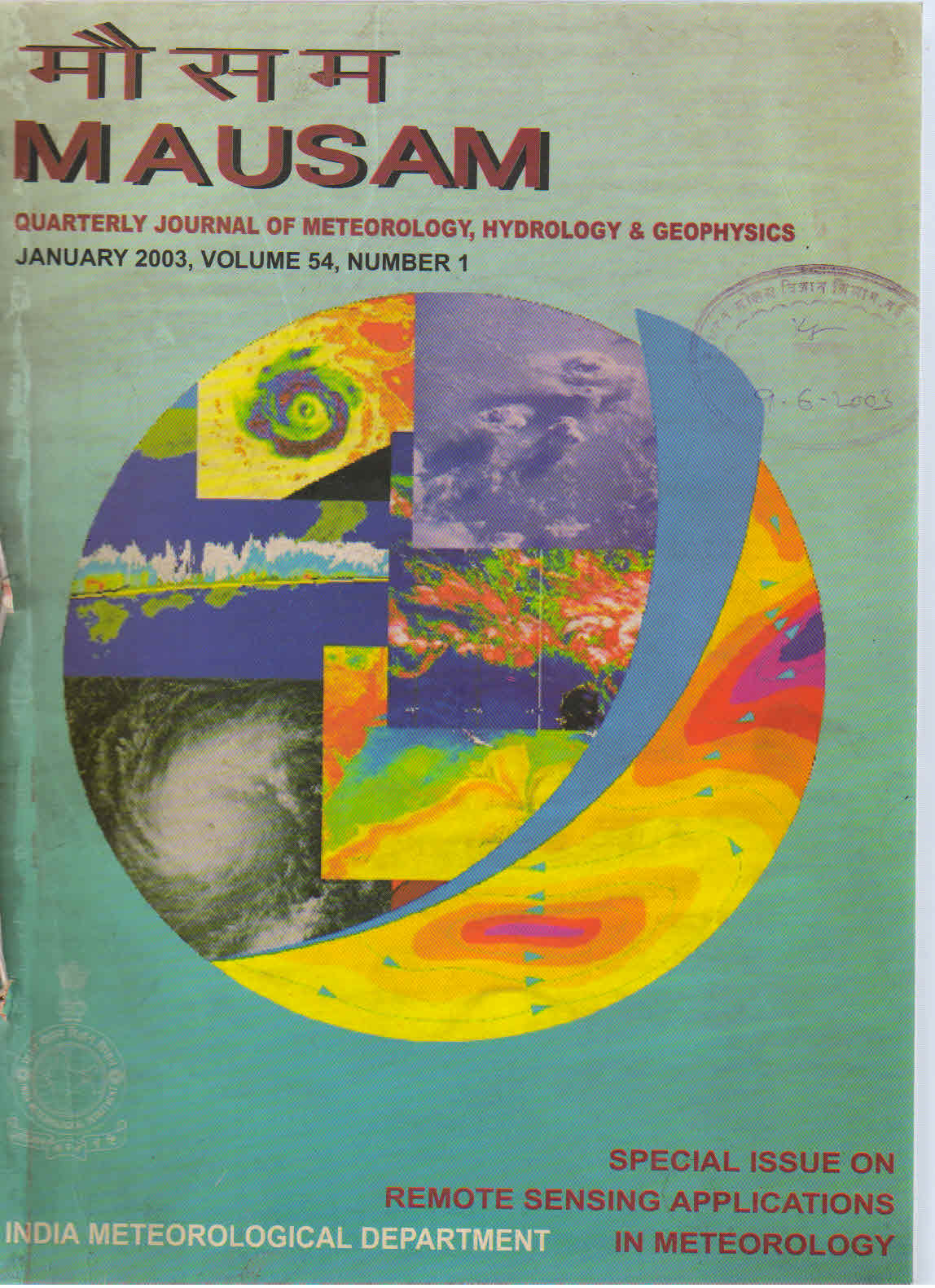
Local severe storm monitoring and prediction using satellite data
DOI:
https://doi.org/10.54302/mausam.v54i1.1498Keywords:
Satellite monitoring, Local severe storms, Prediction, Mesoscale convective systems, Remote sensingAbstract
This paper addresses using satellite data for nowcasting severe storms and their intensity in the 0-6 hour time frame. Weather, and weather related phenomena extend across a broad range of scales. In meteorology the link between the synoptic scale and the mesoscale is many times a key factor in controlling the intensity of local weather. The only observing tool capable of monitoring weather across those scales (and those scales interactions) is the geostationary satellite! Just as imagery from polar orbiting satellites helped advance understanding of synoptic scale phenomena, imagery from geostationary satellites is advancing our understanding of the mesoscale. A number of important discoveries using geostationary satellite imagery have had a dramatic impact on mesoscale meteorology and, in turn, our ability to provide short term forecasts and warnings for disaster related weather events, including: areas of incipient squall line development; location of regions with high probability of tornadoes and severe thunderstorms; mesoscale convective complexes; and, areas with heavy convective rainfall. As exciting as current capabilities are, satellite systems that will come into being during the next several years will provide capabilities well beyond the present ones.
Downloads
Published
How to Cite
Issue
Section
License
Copyright (c) 2021 MAUSAM

This work is licensed under a Creative Commons Attribution-NonCommercial 4.0 International License.
All articles published by MAUSAM are licensed under the Creative Commons Attribution 4.0 International License. This permits anyone.
Anyone is free:
- To Share - to copy, distribute and transmit the work
- To Remix - to adapt the work.
Under the following conditions:
- Share - copy and redistribute the material in any medium or format
- Adapt - remix, transform, and build upon the material for any purpose, even
commercially.


