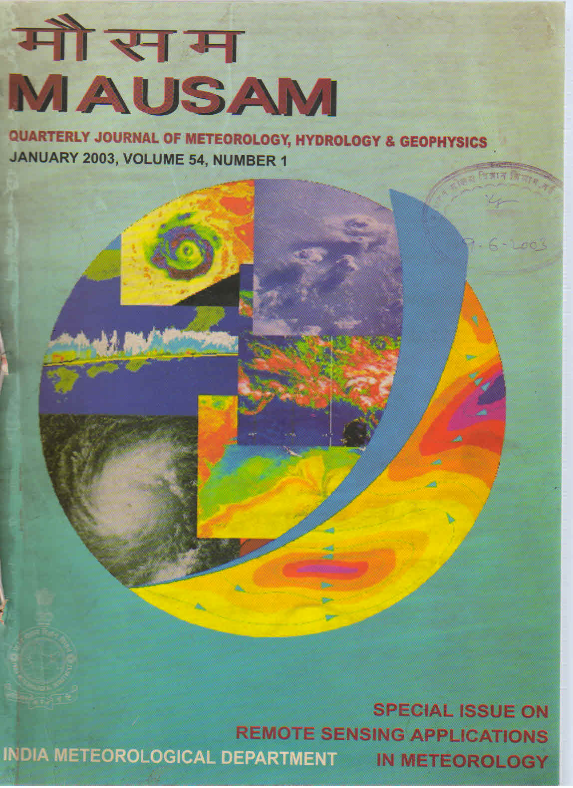
Remote sensing applications in disaster management
DOI:
https://doi.org/10.54302/mausam.v54i1.1501Abstract
Natural disasters are a major constraint to developmental activities. India is susceptible to several natural disasters such as floods, cyclone, landslide, earthquake etc. The entire east coast and northern part of west coast are affected by severe cyclones in the pre and post monsoon seasons. Most of the major river systems such as Ganges, Brahmaputra are prone to large-scale flooding every year, affecting over 40 million ha. It is found that almost two-thirds of the country is prone to varying degrees of seismicity. Major landslides associated with heavy rainfall in monsoon season occur in the hilly tracts of Himalayas. Some of the recent events are the super cyclone that hit Orissa coast in October 1999 and the devastating earthquake that affected Gujarat State in January 2001. The statistics of the disaster events shows the alarming trend of increasing damage and economic loss due to increasing population and development activities in vulnerable areas.
Space based systems with synoptic and repetitive coverage, have unambiguously demonstrated their capability in providing vital information and services in a disaster situation. Earth observation satellites provide comprehensive, synoptic and multi temporal coverage of large areas in real time and at frequent intervals and thus have become valuable monitoring tools. The most important applications of satellites are in detecting, providing and delivering early warnings through earth observations, data relay, navigation, and communication capabilities. Satellites are particularly suited to deliver locale-specific disaster warning and communications to remote, rural and under-developed areas.
With the experience gained through pilot scale studies and operational use of space data, the concept of a space based observation and communication system for disaster management is being evolved. The most important step is to assess the overall requirements of users at various levels and the delivery mechanisms that could provide the services effectively. The elements of such a system therefore will consist of: (i) database design (ii) near real time monitoring/mapping (iii) modelling tools and framework (iv) networking solutions and (v) multi-agency interface. A review of the existing capabilities of space systems and a proto-type design of an information system is made in this paper.
Downloads
Published
How to Cite
Issue
Section
License
Copyright (c) 2021 MAUSAM

This work is licensed under a Creative Commons Attribution-NonCommercial 4.0 International License.
All articles published by MAUSAM are licensed under the Creative Commons Attribution 4.0 International License. This permits anyone.
Anyone is free:
- To Share - to copy, distribute and transmit the work
- To Remix - to adapt the work.
Under the following conditions:
- Share - copy and redistribute the material in any medium or format
- Adapt - remix, transform, and build upon the material for any purpose, even
commercially.


