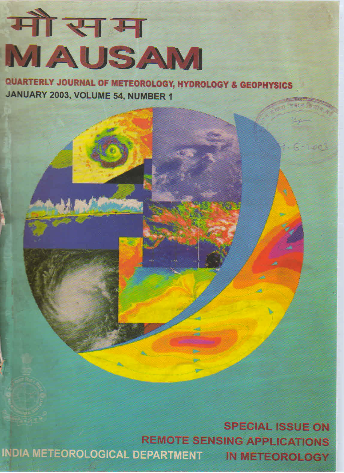
Satellite altimetry for meteorological and oceanographic applications
DOI:
https://doi.org/10.54302/mausam.v54i1.1505Abstract
Satellite altimeter is a remote sensing sensor providing an integrated picture of the atmosphere and the oceans over large spatial and temporal scales. Though the principle of obtaining altimeter range from the sea surface is simple, quite a good number of corrections have to be applied to the two way travel time. The various sources of errors in the altimeter measurements and the corrections to be applied are described. The potential applications of altimeter measurements in meteorology and oceanography are also discussed.
Downloads
Published
How to Cite
Issue
Section
License
Copyright (c) 2021 MAUSAM

This work is licensed under a Creative Commons Attribution-NonCommercial 4.0 International License.
All articles published by MAUSAM are licensed under the Creative Commons Attribution 4.0 International License. This permits anyone.
Anyone is free:
- To Share - to copy, distribute and transmit the work
- To Remix - to adapt the work.
Under the following conditions:
- Share - copy and redistribute the material in any medium or format
- Adapt - remix, transform, and build upon the material for any purpose, even
commercially.


