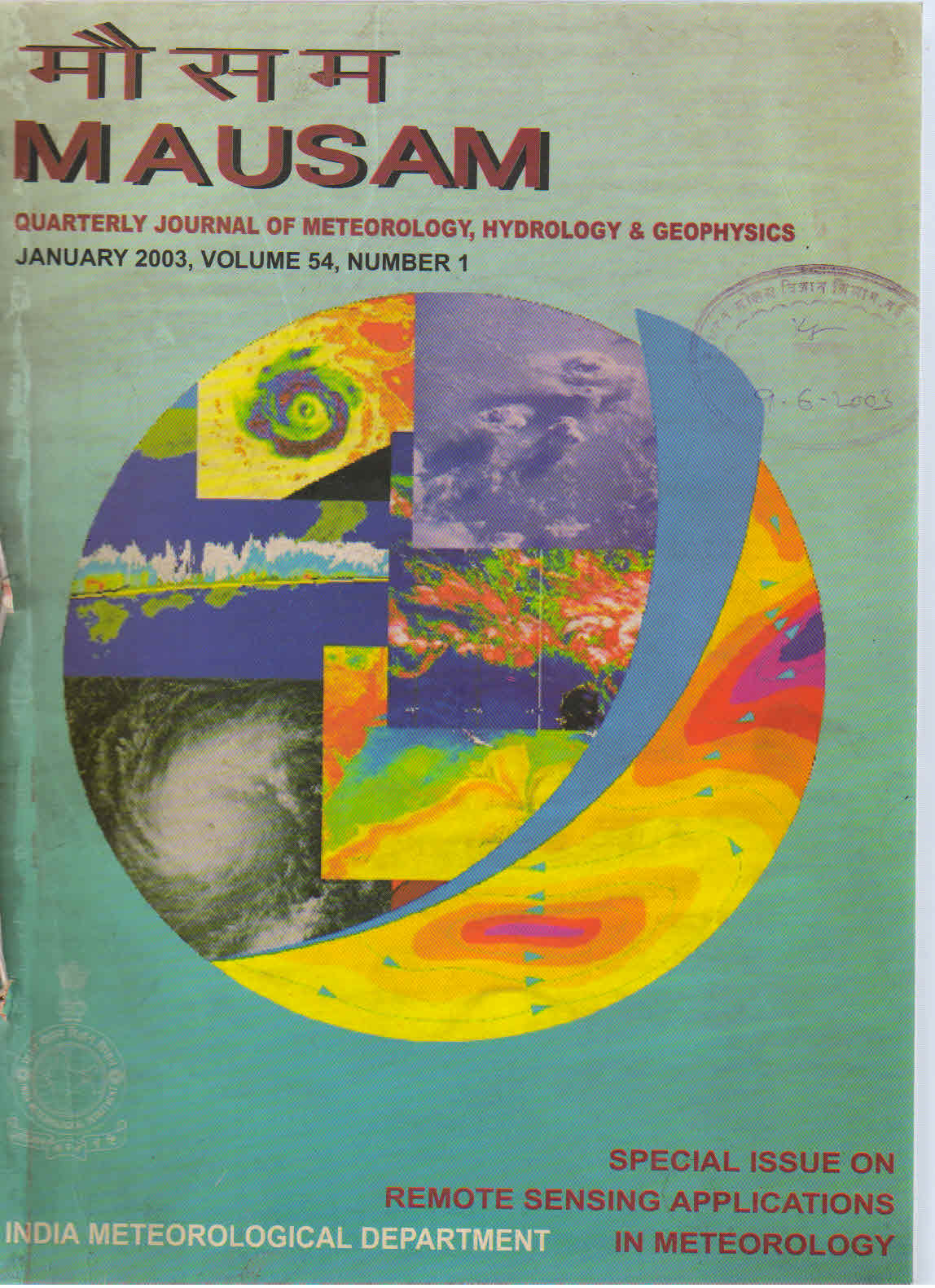
Wheat yield modelling using satellite remote sensing with weather data : Recent Indian experience
DOI:
https://doi.org/10.54302/mausam.v54i1.1510Abstract
Recent work on new approaches and development of yield models for wheat-using space borne remote sensing data in India is discussed. Direct vegetation index (VI)-yield empirical models at farm and district scale explain significant variation in yield. The sensitivity of these models to scene and sensor characteristics and crop discrimination has been quantified. Improvements in direct VI-yield models through addition of weather data during grain filling stage has been demonstrated at farm and district scales. Use of physical approaches for yield modelling through derivation of LAI and spectral emergence and peak vegetative stage from RS data has been presented. The approach showing most promise is to use crop simulation models that inherently integrate response of crop to daily weather inputs with additional RS-derived LAI. Results from such studies in farmer’s fields and at regional scale are reviewed.
Downloads
Published
How to Cite
Issue
Section
License
Copyright (c) 2021 MAUSAM

This work is licensed under a Creative Commons Attribution-NonCommercial 4.0 International License.
All articles published by MAUSAM are licensed under the Creative Commons Attribution 4.0 International License. This permits anyone.
Anyone is free:
- To Share - to copy, distribute and transmit the work
- To Remix - to adapt the work.
Under the following conditions:
- Share - copy and redistribute the material in any medium or format
- Adapt - remix, transform, and build upon the material for any purpose, even
commercially.


