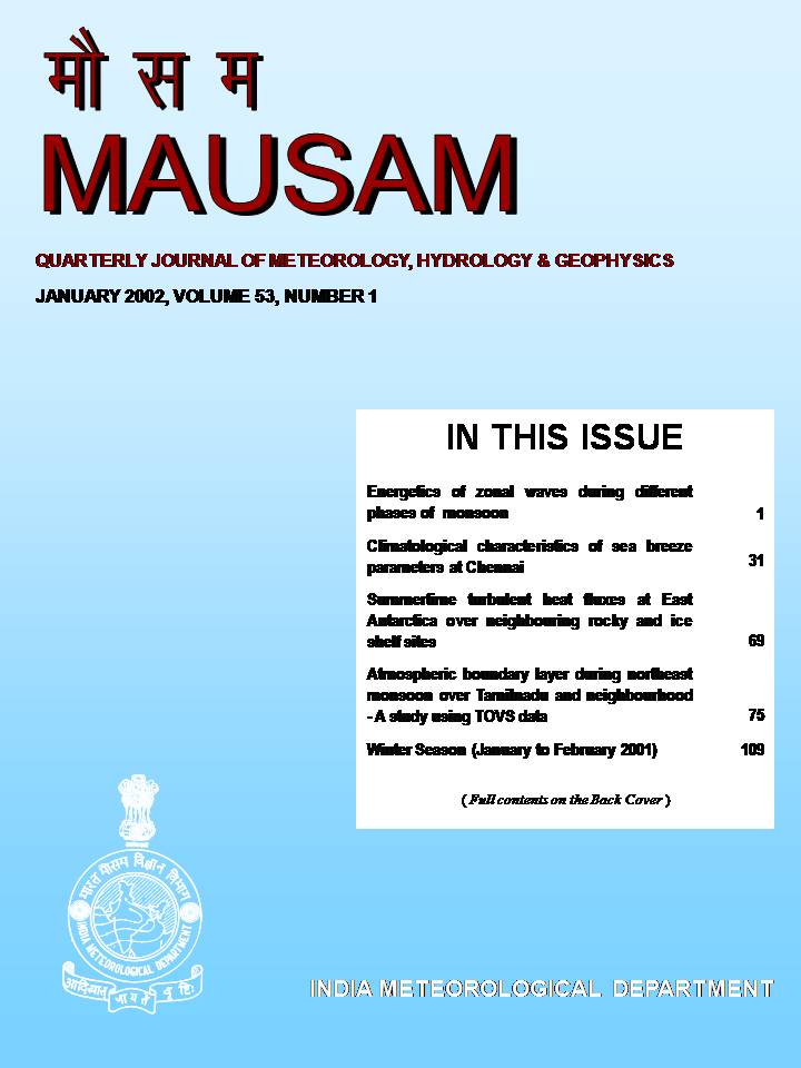
Atmospheric boundary layer during northeast monsoon over Tamilnadu and neighbourhood - A study using TOVS data
DOI:
https://doi.org/10.54302/mausam.v53i1.1622Keywords:
Planetary boundary layer, Cloud layer, Convective instability, Equivalent potential temperature, Virtual potential temperature, Lifting condensation level, Northeast monsoonAbstract
Thermodynamic structure of atmospheric boundary layer during October - December covering southwest and northeast monsoon activities over interior Tamilnadu (ITN), coastal Tamilnadu (CTN) and adjoining Bay of Bengal (BOB) has been studied using TIROS Operational Vertical Sounder (TOVS) data of 1996-98. Heights of neutral stratified mixed layer, cloud layer and planetary boundary layer (PBL) have been estimated through available standard pressure level data. Highest PBL occurs during active northeast monsoon. Cloud layer thickness during weak northeast monsoon over interior Tamilnadu is significantly higher than that over coastal Tamilnadu and also over Bay of Bengal. Convective stability (instability) of the atmosphere in 850-700 hPa layer is associated with weak / withdrawal (active) phase of northeast monsoon. One of the plausible reasons for subdued rainfall activity during weak northeast monsoon over interior Tamilnadu could be convective instability seen over this region in 850-700 hPa layer. But the same is absent in CTN and BOB where no rainfall activity exists during weak monsoon phase. Virtual temperature lapse rate in 850-700 hPa layer exceeding (less than) 6oK/km is associated with active (weak) phase of northeast monsoon over the interior, coastal Tamilnadu and Bay of Bengal.
Downloads
Published
How to Cite
Issue
Section
License
Copyright (c) 2021 MAUSAM

This work is licensed under a Creative Commons Attribution-NonCommercial 4.0 International License.
All articles published by MAUSAM are licensed under the Creative Commons Attribution 4.0 International License. This permits anyone.
Anyone is free:
- To Share - to copy, distribute and transmit the work
- To Remix - to adapt the work.
Under the following conditions:
- Share - copy and redistribute the material in any medium or format
- Adapt - remix, transform, and build upon the material for any purpose, even
commercially.


