Recent very severe tropical cyclones over the Bay of Bengal : Analysis with satellite data
DOI:
https://doi.org/10.54302/mausam.v57i1.453Abstract
lkj & bl 'kks/k&i= esa caxky dh [kkM+h ds m".kdfVca/kh; pØokrksa dh rhozrk dk vkdyu vkSj pØokr ds ekxZ dk iwokZuqeku yxkus esa mixzg ds vk¡dM+ksa ls cus izHkko dks n’kkZ;k x;k gSA bl 'kks/k&i= esa ys[kdksa us pØokrh rwQkuksa ds ekxZ dk] pØokr ds cuus dk vkSj pØokr dh xfrfof/k;ksa dk irk yxkus esa mixzg ds vk¡dM+ksa ds mi;ksx dks vuqdwy cukus esa lqnwj laosnh rduhdksa dh gky gh esa feyh lQyrk vkSj mlds mi;ksx dh izxfr ij fo’ks"k :Ik ls /;ku dsfUnzr fd;k gSA nks pØokrksa dk fo’ys"k.k fd;k x;k gS & 16 ls 19 ebZ 2004 esa E;kaekj esa vk;k izpaM pØokrh rwQku vkSj nwljk 26 ls 31 vDrwcj 1999 esa mM+hlk esa vk;k pØokrA
pØokrh rwQkuksa ds cuus vkSj muds vkxs c<+us ds iwokZuqeku esa vfr mPp foHksnu jsfM;ksehVj ¼oh- ,p- vkj- vkj-½ vk¡dM+ksa] LdsVªksehVj iouksa vkSj cfgxkZeh nh?kZrjax fofdj.k ¼vks- ,y- vkj-½ ds pØokrksa ds vkl&ikl Ñf=e o.kZ esa n’kkZ, x, vk¡dM+ksa dk mi;ksx djrh gqbZ mixzg ij vk/kkfjr rduhd cgqr vf/kd mi;ksxh ikbZ xbZ gSA bl v/;;u esa caxky dh [kkM+h esa vk, nks pØokrksa ds cuus vkSj muds vkxs c<+us dh vlekurk dks fo’ks"k :Ik ls crk;k x;k gSA
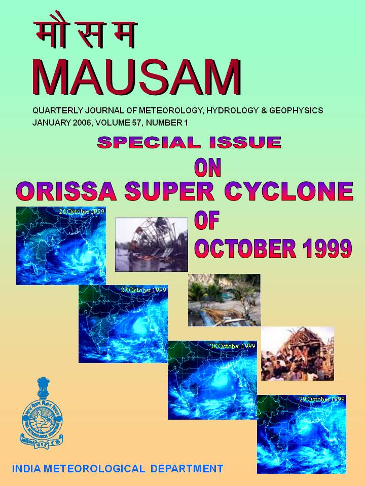
This paper shows the impact made by the satellite data in the intensity estimation and track prediction of tropical cyclones of Bay of Bengal. The authors in this paper have focused on the recent accomplishment and advances in the remote sensing techniques to optimize the use of satellite data in tracking, formation and movement of cyclonic storms. Two cyclones - firstly the Myanmar severe cyclonic storm of 16 to 19 May 2004 and secondly the 26 – 31 October 1999 Orissa cyclone have been analysed.
Satellite based technique using Very High Resolution Radiometer (VHRR) data, scatterometer winds and outgoing long wave radiation (OLR) data in pseudo color around the cyclones have been found to be more useful in predicting formation and movement of cyclonic storms. The present study has significantly brought out the difference in formation and movement of the two cyclones formed over the Bay of Bengal.
Downloads
Published
How to Cite
Issue
Section
License
Copyright (c) 2021 MAUSAM

This work is licensed under a Creative Commons Attribution-NonCommercial 4.0 International License.
All articles published by MAUSAM are licensed under the Creative Commons Attribution 4.0 International License. This permits anyone.
Anyone is free:
- To Share - to copy, distribute and transmit the work
- To Remix - to adapt the work.
Under the following conditions:
- Share - copy and redistribute the material in any medium or format
- Adapt - remix, transform, and build upon the material for any purpose, even
commercially.


