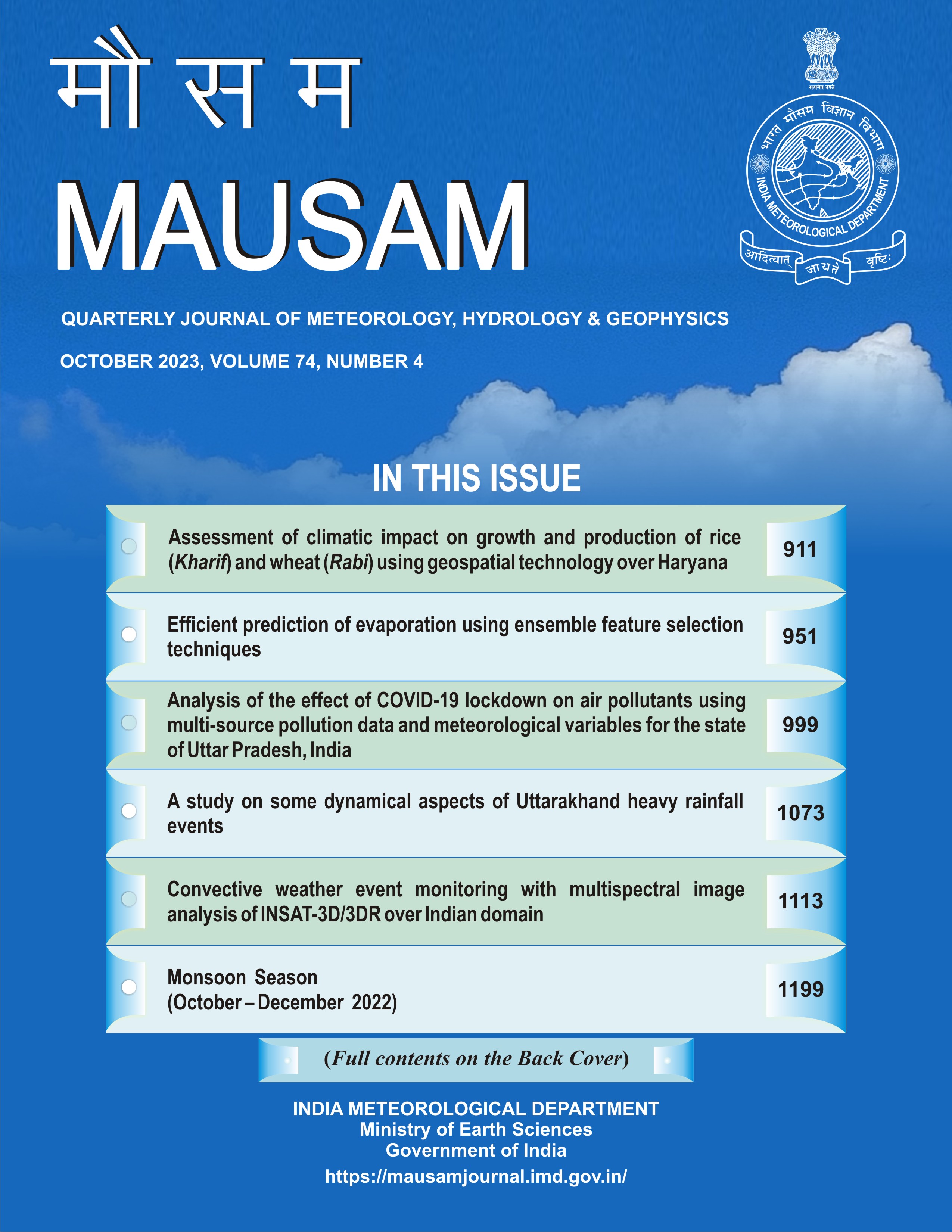
Convective weather event monitoring with multispectral image analysis of INSAT-3D/3DR over Indian domain
DOI:
https://doi.org/10.54302/mausam.v74i4.6176Abstract
Pre-monsoon season (March to May) is very challenging as convective activities prevails almost throughout the country. Most of the Rabi crops harvesting affected and sometimes suffer great losses due to sudden rain or high winds. INSAT-3D/3DR satellite images and derived products provides continuous support to the forecasters and end users in monitoring such events and thereafter significant value addition improves the prediction. This information was found to be very useful where actual ground based or upper air observations are limited or especially over data sparse or difficult terrain regions.
In this work, we have examined three weather events at different Geographical locations (i) Rainfall over Bihar-24-26 June, 2020 (ii) Delhi & NCR region on 17 June, 2022 (iii) NE region activity in 16-18 June, 2022.
The Real Time Analysis of Products and Information Dissemination (RAPID) web based tool was utilized in monitoring and diagnosing the convective weather events based on the brightness temperature & derived products like Outgoing longwave radiation, upper tropospheric humidity, insolation etc & RGB imagery composite in terms of day & night time microphysics daily operational products. The time series of the wind derived products for Delhi NCR rainfall and NE rainfall products also generated through RAPID. The synoptic model analysis provides valuable inputs for these mesoscale convective weather events. The southerly wind flow (at 925 hPa) and velocity convergence (at 500 hPa) analysis of European Centre for Medium Range Weather Forecasting (ECMWF) supports the severity of NE event occurred on 16-18 June, 2022.
Therefore, utilization of near real time INSAT-3D/3DR products along with appropriate synoptic model analysis can help the forecasters to understand better about such mesoscale convective events & accurate forecast with sufficient lead time can save the life and property.
Downloads
Published
How to Cite
Issue
Section
License
Copyright (c) 2023 MAUSAM

This work is licensed under a Creative Commons Attribution-NonCommercial 4.0 International License.
All articles published by MAUSAM are licensed under the Creative Commons Attribution 4.0 International License. This permits anyone.
Anyone is free:
- To Share - to copy, distribute and transmit the work
- To Remix - to adapt the work.
Under the following conditions:
- Share - copy and redistribute the material in any medium or format
- Adapt - remix, transform, and build upon the material for any purpose, even
commercially.


