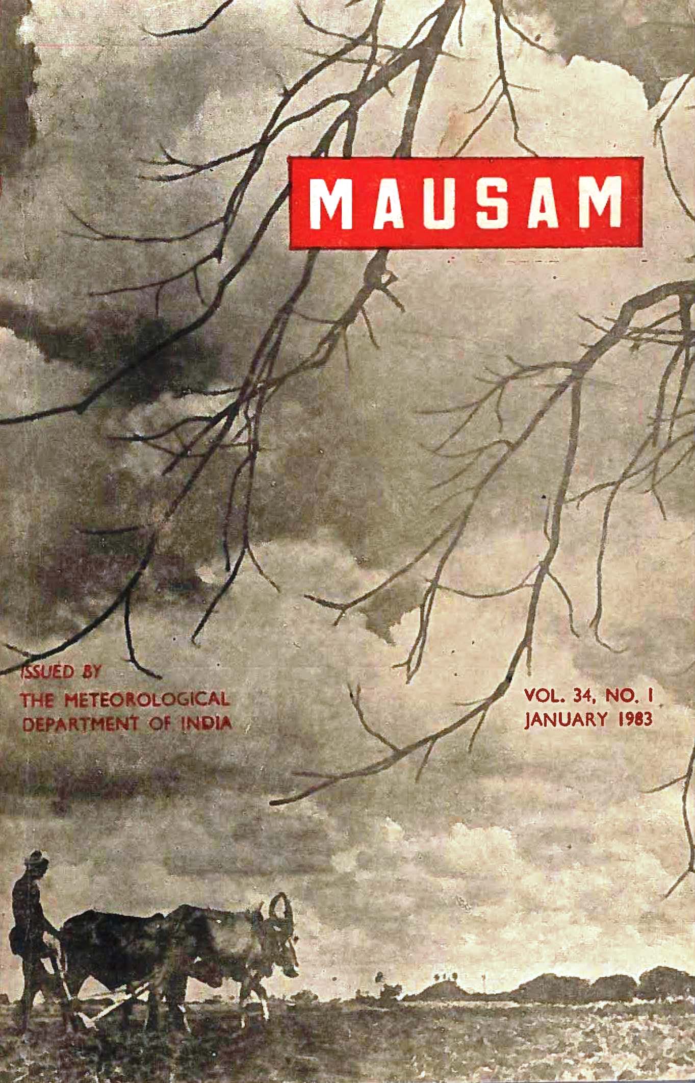
Network design of stream gauges for water resources Assessement of Krishna basin
DOI:
https://doi.org/10.54302/mausam.v34i1.2338Abstract
There are different types of network or stream gauging stations such as minimum, saturation and optimum network. In many cases, the network design. was done purely from the point of view of meeting a specific purpose. Those stations are continued thereafter to form part or national network.
In this paper the physical-statistical method combined with the zonal characteristics approach is applied to Krishna basin which is one or the principal river basins of India. The stream gauge network in Krishna basin is arrived at by considering the criterion or reliability of interpolation or stream flow data at intermediate locations and examination of its adequacy for long term and short term requirements. Stream gauge network of Krishna basin has been evolved for different sets of Conditions of variability and relative errors in this paper.
Downloads
Published
How to Cite
Issue
Section
License
Copyright (c) 2021 MAUSAM

This work is licensed under a Creative Commons Attribution-NonCommercial 4.0 International License.
All articles published by MAUSAM are licensed under the Creative Commons Attribution 4.0 International License. This permits anyone.
Anyone is free:
- To Share - to copy, distribute and transmit the work
- To Remix - to adapt the work.
Under the following conditions:
- Share - copy and redistribute the material in any medium or format
- Adapt - remix, transform, and build upon the material for any purpose, even
commercially.


